About Maple
Made in Vermont, for one short season.
Maple started the way most tools worth having do: out of mild frustration. Every October I'd watch the same thing happen — a week of spectacular color, and photographers (myself included) spending half of it in the car, chasing rumors. A foliage report written for tourism boards. A viral photo from three years ago. A tip from someone who was “just up there,” which turns out to mean nine days ago.
Foliage season doesn't forgive that. Peak color in any one place lasts about a week, the best light lasts about an hour, and higher ground turns before the valleys below it. The information you need exists — timing patterns, weather, elevation — it just never lived in one place, and it was never written for people who care about photographs.
What Maple believes
Honesty over hype. Maple will tell you a location is a best bet when it is — and “better for scouting” or “skip for now” when it isn't. Every read includes a heads-up about what could go wrong and a backup so it doesn't cost you the morning.
Depth over breadth. Maple covers Vermont — properly. Every location is shot, scouted, and written up by hand. No scraped lists, no filler pins on a map.
Think like a photographer. Light, fog, wind, crowds, elevation. Even if you never take the camera off auto, planning like a photographer gets you a better day out.
Who's behind it
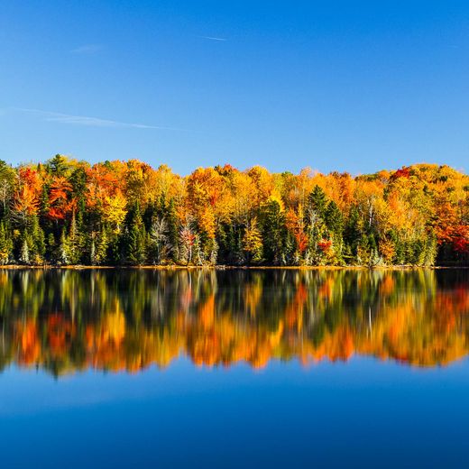
I'm Michael Wood, a photographer based in New England. Maple is my field notes, my timing model, and a lot of early mornings, turned into something anyone can use. The photographs across Maple and this site are mine — every one made at a location Maple recommends.
Maple runs free in your browser today. The goal is for it to become a proper app; the email list on the home page is the best way to follow along.